 We have changed our name from Esk Mapping & GIS to Esk Spatial. Nothing else has changed and we look forward to working with you in the future.
What is GIS and how can Esk Spatial help you?
According to National Geographic, “A geographic information system (GIS) is a computer system for capturing, storing, checking, and displaying data related to positions on Earth’s surface. By relating seemingly unrelated data, GIS can help individuals and organisations better understand spatial patterns and relationships”. If your organisation is looking to unlock the full potential of GIS, then Esk Spatial is your go-to partner. Please reach out, as we’re here to help!
Some areas in which we work
We’ve completed countless projects helping many diverse organisations. Here’s a small taste of what we do…

Recreational assets and planning
Optimise your public assets and investment strategies with Esk Spatial's GIS solutions Are you struggling to keep track of the maintenance needs for your organisation's[...]

Tourism and regional dispersal
How GIS is revolutionising dispersal analysis and investment attraction. If you manage a local tourism destination, it's crucial to understand how visitors disperse throughout[...]
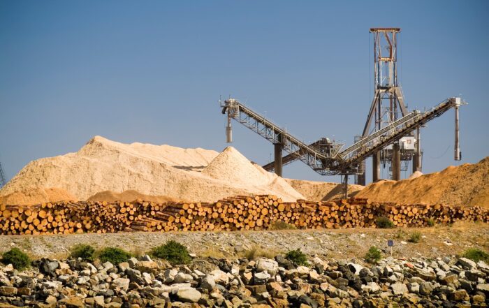
Volumes, measurement and excavation
Drone-based measurement with GIS is amazing. Faster, more accurate and affordable. Are you looking for a faster and more economic way to understand volumes, stockpiles,[...]

Property Management
Property planning with GIS is affordable, geographically accurate and fast. Esk will revolutionise your next project. Looking to make property planning and development fast, easy[...]

Conservation and riparian zones
Let GIS accelerate planning and management for better environmental outcomes. GIS technology can be a powerful tool for planning and managing riparian zones and other[...]

Cemeteries and historic sites
Streamline the management of historic sites and cemeteries with Esk Spatial's GIS technology If you're an organisation responsible for managing historic sites and cemeteries, Esk[...]
National leaders in forest and carbon
Supporting you navigate through forestry and carbon and the emerging Nature Repair Market
Esk Spatial is a leading Australian firm providing Plantation suitability modelling, carbon modelling and FullCAM modelling services. Plantation suitability modelling uses geospatial data to identify areas suitable for specific tree species, guiding afforestation efforts and resulting in higher carbon sequestration rates. Forest carbon modelling estimates carbon stocks and fluxes in ecosystems to determine the impact of land use changes on the global carbon balance.
FullCAM Modelling is a comprehensive carbon accounting model the Australian Government uses to estimate greenhouse gas emissions and removals, supporting national and international reporting on climate change and informing policies related to carbon pricing and emissions reduction targets. Let Esk help you turn your plantation plans into a commercial venture.


